The best solution for quick surveys
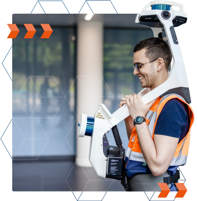
Mobile (or dynamic) scanners offer the possibility of surveying motion, at walking speed. These solutions thus offer a capture rate of up to 12,000 m² per day, without compromising on the quality of the data collected.
- The ability to quickly identify constrained areas by their activity (e.g. production areas).
- Accelerated digitization of sensitive areas (e.g., hospitals, confined areas, etc.).
- The possibility of completing survey projects within a tight timeframe.


Minimize disruption to your sites during the survey
Maintain an optimal activity in your buildings, benefiting from quick surveys.
- Minimize potential shutdowns or slowdowns in activity in your buildings, which may be induced or necessary for your survey projects.
- Reduce the need for your staff to assist our operators.
Controlled survey protocols
Mobile scanning solutions offer high-speed surveying without compromising precision or comprehensiveness when integrated into controlled protocols.
Deploying complementary equipment (static scanners, total stations, and drones) where dynamic scanners face their limitations will ensure comprehensive and reliable surveys.

Let's study your project together
Contact us, we will study your project to provide you with an estimate as soon as possible
Contact us
Q&A
Any questions you'd like answered?
Contact usWhat is a point cloud?
The point cloud of a building is a real 3D footprint of the building. Technically, it is generated using LiDAR sensors, which lasergrammetry solutions are equipped with.
These sensors emit a laser beam that scans the environment until obstacles (object, wall, structure, etc.) are detected. The distance to each obstacle is then analyzed, in order to position a point in space. Repeating this process makes it possible to create a point cloud.
During our projects, we deliver the file containing the point cloud in a format adapted to your uses (.rcp, .e57, .xyz).
To find out more, we invite you to discover our article explaining How to use a point cloud.
What are the differences between static and mobile scanners?
The main difference is in the capturing. Static scanners work on a tripod and capture space station by station (a station being a point where the scanner is positioned and launched). Mobile scanners have the advantage of capturing the environment while being in motionby a moving operator, and therefore being faster. Static scanners generally capture a denser point cloud, which is necessary during some projects.
To find out more about the various 3D scanning solutions, we invite you to read our article on this subject.
How does a mobile scanner work?
Just like static scanners, mobile scanners incorporate LiDAR sensors to capture point clouds. At the same time, and in order to capture the environment while being moved, mobile scanners incorporate two elements:
However, to capture the environment while moving, mobile scanning systems rely on two integrated elements:
- A simultaneous mapping location system (SLAM)
- An inertial unit (IMU)
How to define the right 3D scanning solutions for a project?
Each scanning solution has its own specificities. The project specifications, the surface area, the expected deliverables and the specificities of the building are the factors allowing to choose the right 3D scanning solutions.
This choice of equipment is one of the key stages of a 3D scanning project, which we detail in this article.


