


3D engineering and extreme environments: how MDB deploys multi-technology surveys for the Franciliane project?
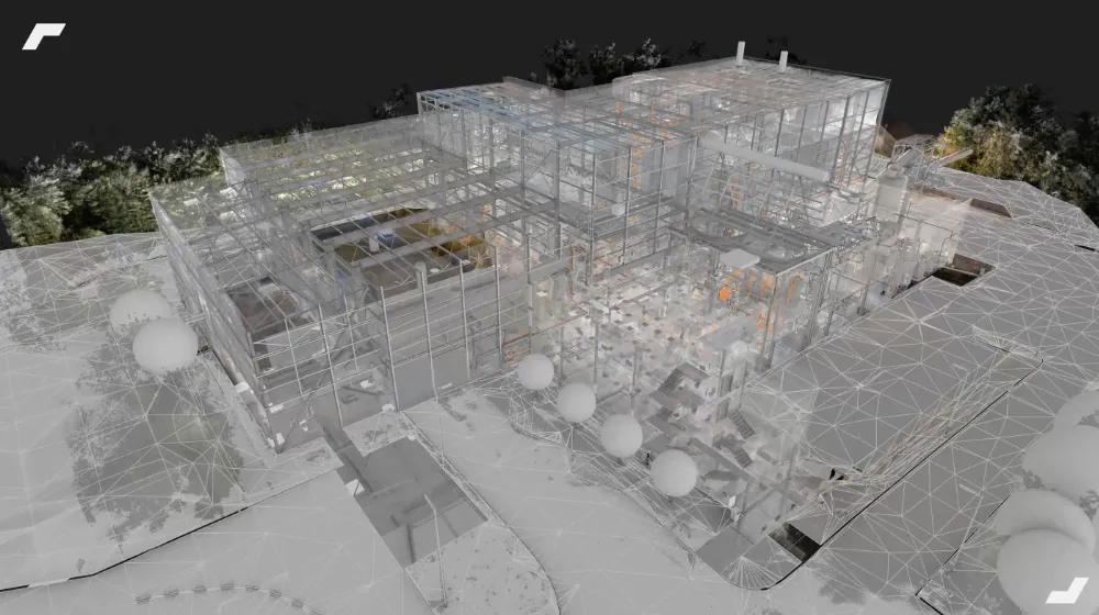
As part of its delegation contract with SEDIF, Franciliane is tasked with mapping water treatment infrastructure covering 1.2 million square meters.
.webp)
The challenge: an industrial labyrinth of epic proportions
As part of its delegation contract with SEDIF, Franciliane is tasked with mapping water treatment infrastructure spanning over one million square meters. The environment is exceptionally complex and challenging, involving chemical hazards, basins, high humidity, massive rooftops, intricate multi-level and split-level buildings, and underground confined spaces (valve chambers ranging from 2 m³ to 40 m³) that require rigorous CATEC safety protocols.

Limitations: the failure of the one-size-fits-all technology
In such conditions, traditional surveying methods or relying on a single type of scanner reach their limits. Scanning vast roofs with a dynamic system creates geometric drifts of up to a meter (the "banana effect"). Conversely, using only static scanning in underground mazes would take an eternity and disrupt operations. The risk of a "double skin" effect—where point clouds become misaligned—when assembling thousands of scans was a critical concern.
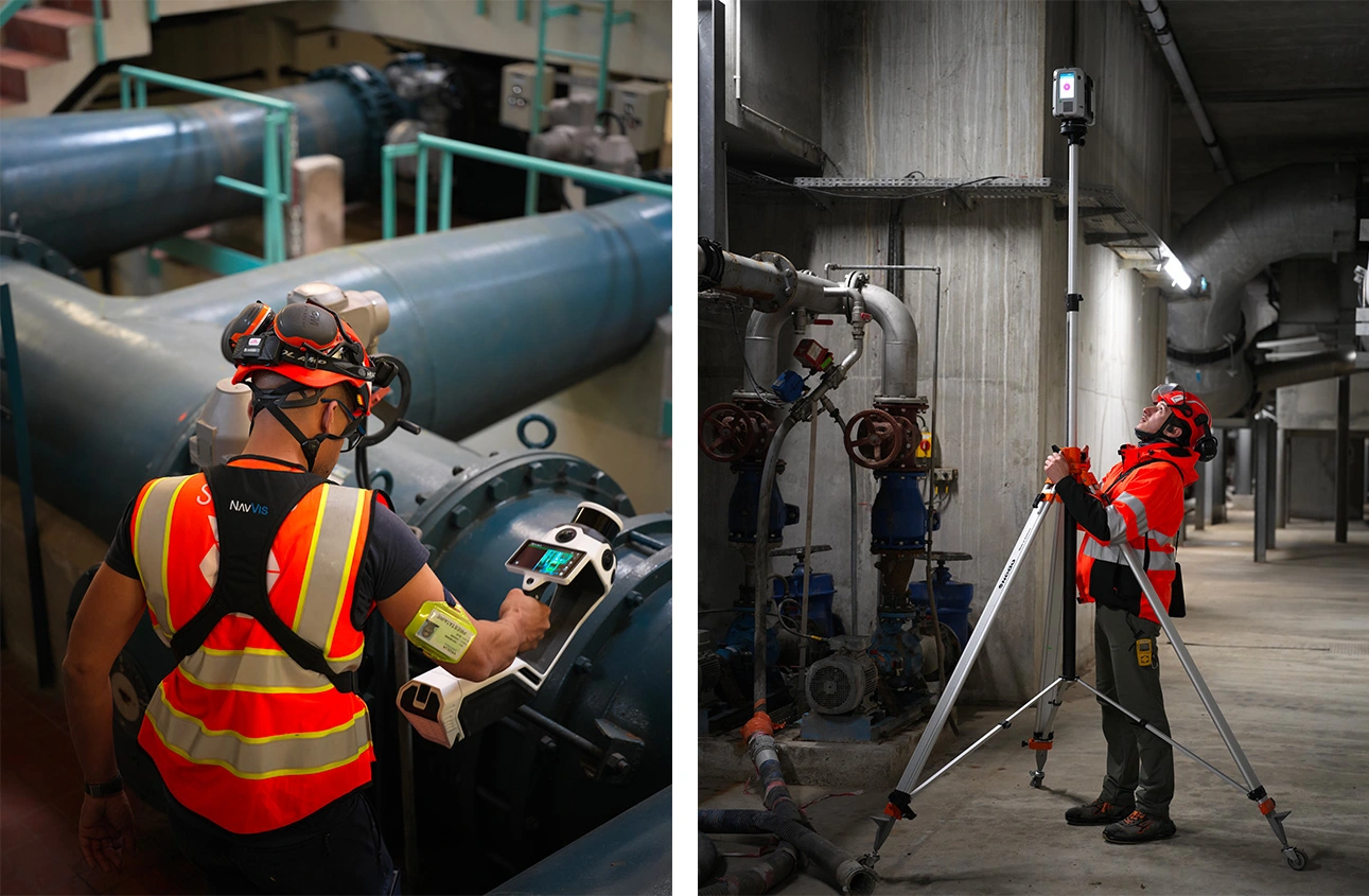
The turning point: technological hybridization and human synergy
The solution emerged from total collaboration. In terms of planning, Franciliane provides My Digital Buildings with a 6-week outlook and assigns two dedicated field experts to secure and streamline site access. On the technical side, MDB realized the site had to be treated like a giant puzzle requiring hybrid engineering: the millimeter precision of traditional surveying combined with the rapid acquisition speed of new dynamic scanners.
The results: a historic milestone reached
Today, the organization is fully mature. Geometric drift has been completely eliminated. My Digital Buildings provides Franciliane with point clouds of impeccable completeness and aesthetic quality, all without disrupting plant operations. They have significantly expanded their expertise (CATEC certifications, data engineering), proving that when faced with industrial challenges of this magnitude, technology is nothing without human excellence and a transparent client-supplier partnership.

I am incredibly proud of the dedication shown by our teams, both in the field and during post-processing. This project has been a major milestone for us. The true strength of this partnership lies in Veolia’s recognition of the critical importance of field data and point clouds as the foundation of their solution.


Let's study your project together
Contact us, we will study your project to provide you with an estimate as soon as possible
Contact us


To make sure you don't miss out on our news, subscribe to our newsletter now!
Receive quarterly updates directly in your inbox to stay informed about the latest news and events at My Digital Buildings.


